
Mining Survey
Pihra Lithium Project
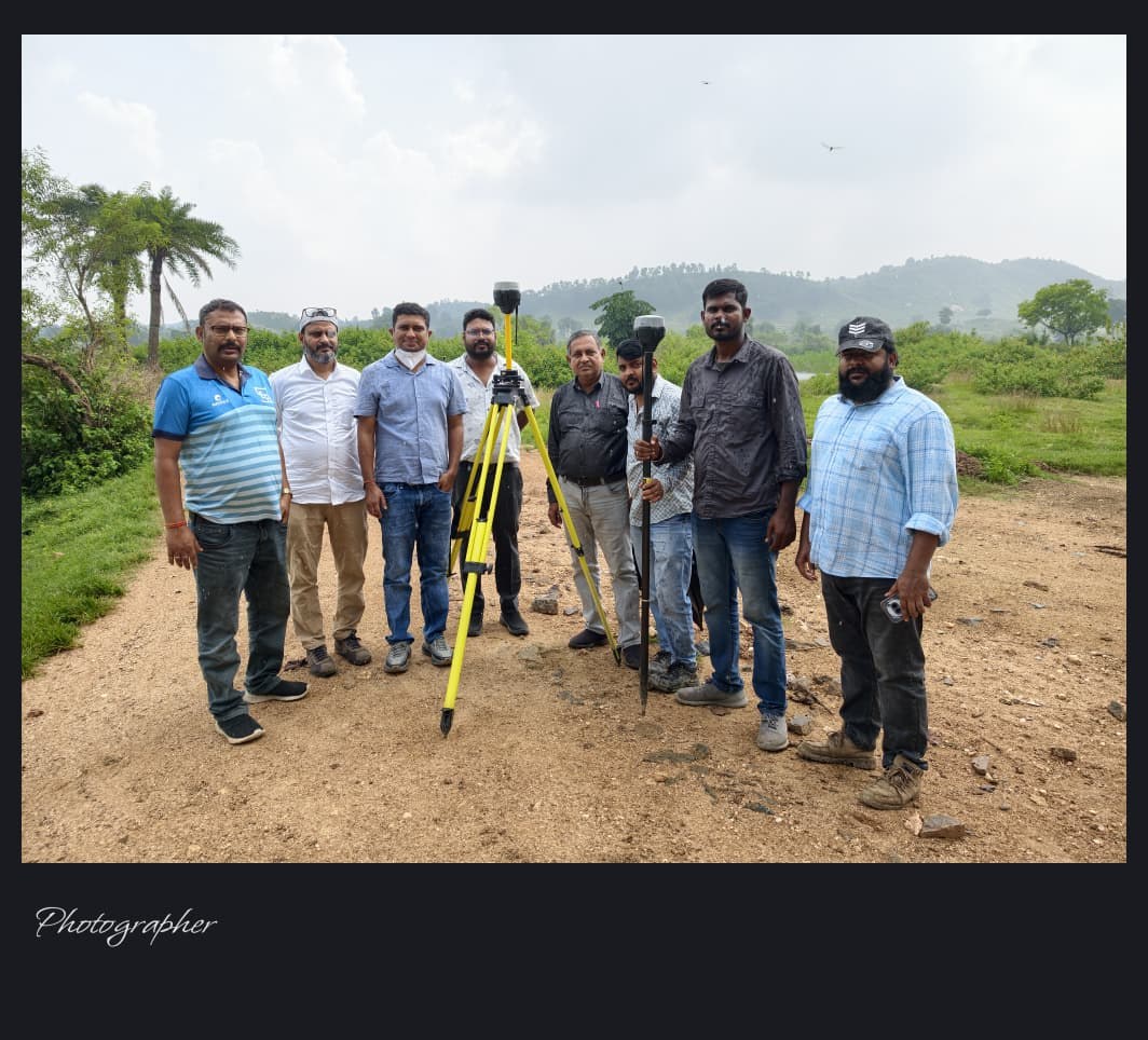
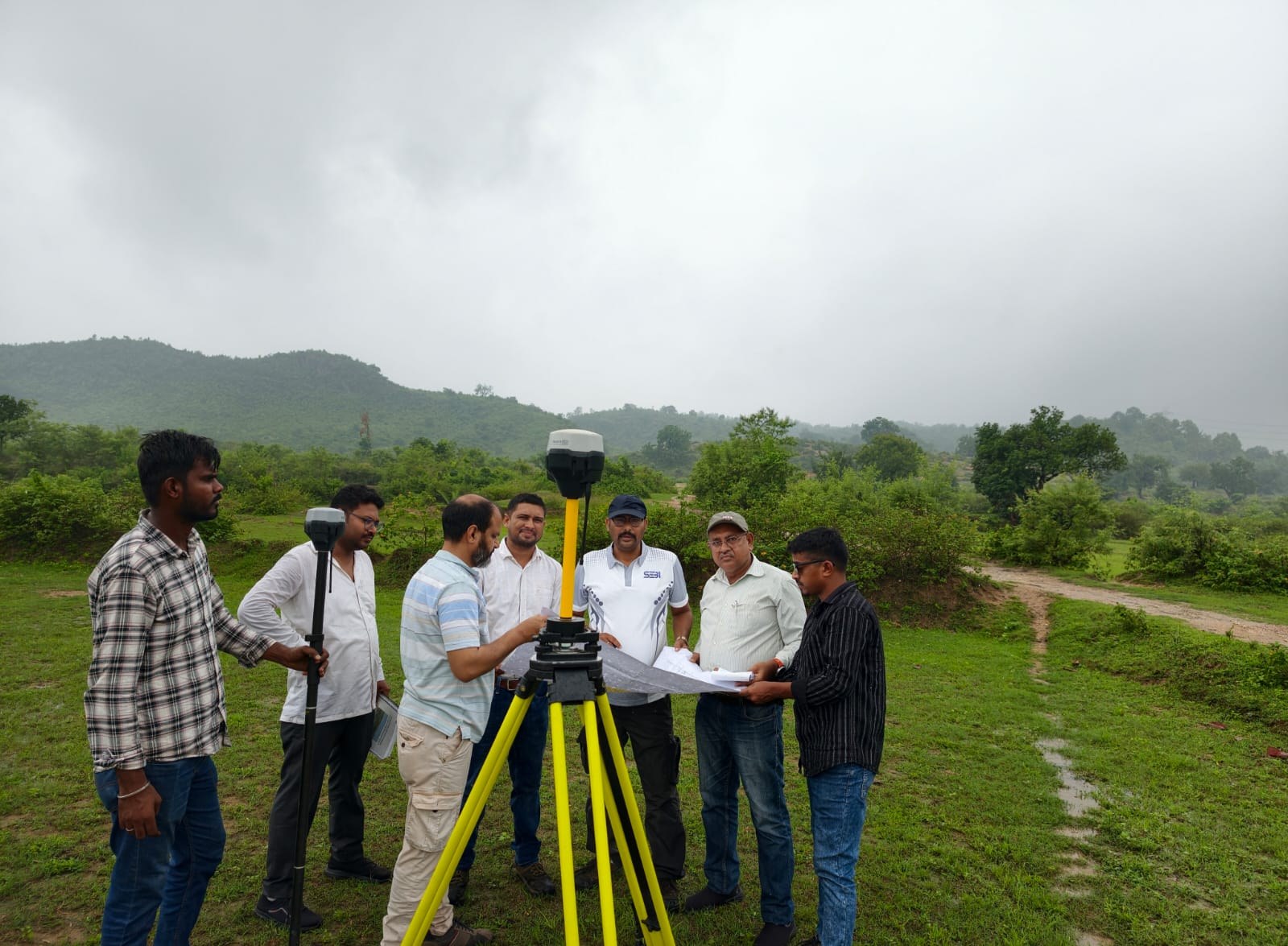
Field surveying and geospatial work in a mining project environment.
Professional surveying, GIS, drone mapping and geospatial solutions for mining, infrastructure, land and engineering projects.
Accurate field data for engineering and infrastructure.
Modern aerial data collection and photogrammetry.
Spatial data, mapping and geospatial documentation.
Survey solutions for mining and mineral projects.
Rayyan Geo Tech (RGT) is a surveying and geospatial solutions company based in Giridih, Jharkhand. Founded in 2012, RGT provides surveying services for mining, infrastructure, land development, roads, water resources and other engineering projects.
Our work combines experienced field teams with modern surveying technology to produce accurate, practical and project-ready information.
To deliver high-standard surveying and geospatial solutions through meticulous planning, appropriate technology, attention to detail and efficient project execution.
From field data collection to GIS documentation, RGT supports the complete surveying requirements of modern projects.
Surveying solutions for mining, quarry and mineral project requirements.
Accurate terrain, contour and ground-feature data for project planning.
High-precision positioning and control-point surveying for demanding projects.
Modern aerial mapping and photogrammetry for large and complex sites.
Road, bridge, canal, pipeline and alignment survey solutions.
GIS-based documentation, mapping, georeferencing and spatial data.
Professional CAD drawings, plans, profiles and engineering documentation.
Land boundary, cadastral, acquisition and documentation surveys.
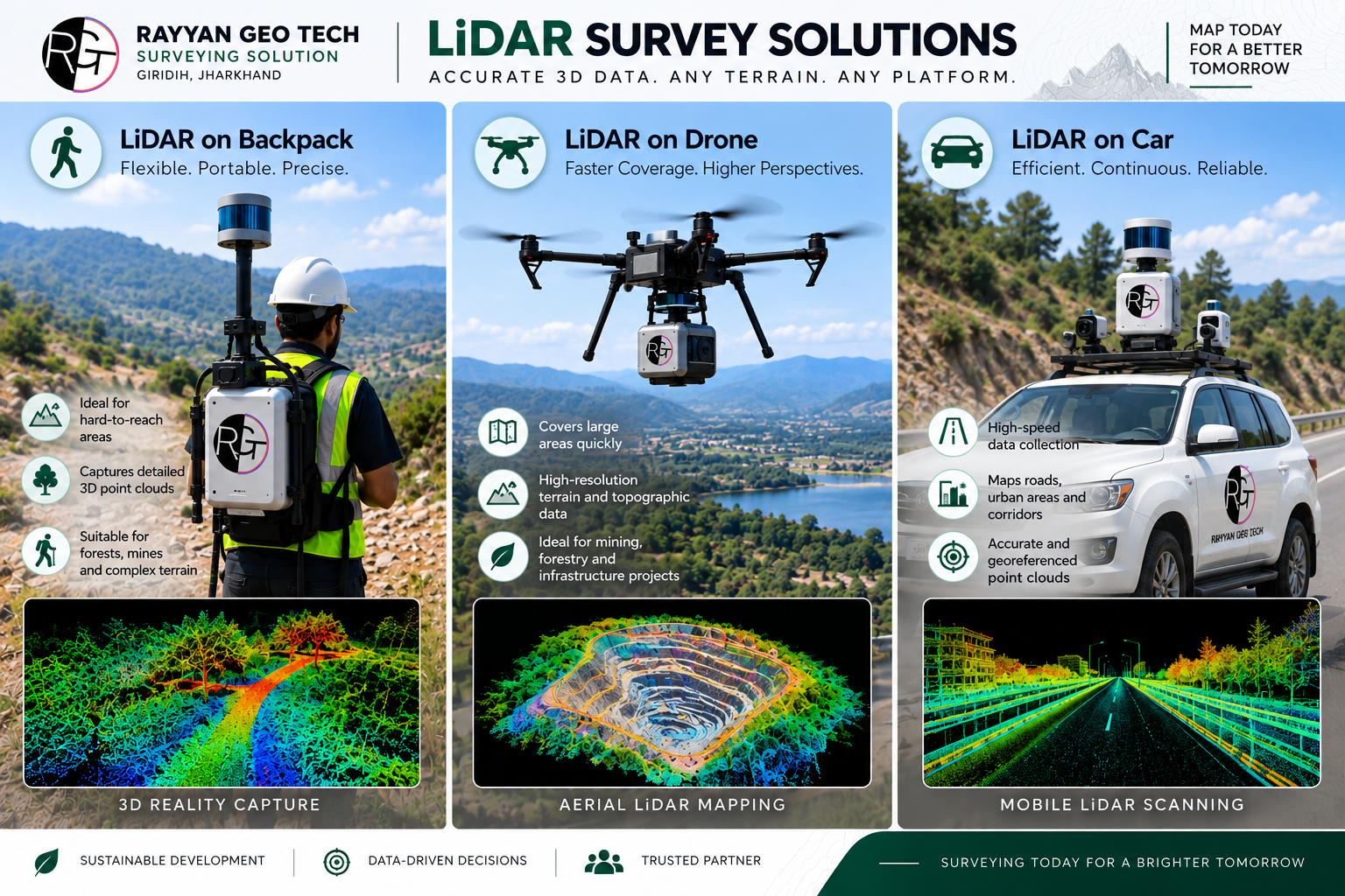
Capture detailed spatial information for complex terrain, infrastructure, vegetation and large project environments with modern LiDAR-based workflows.
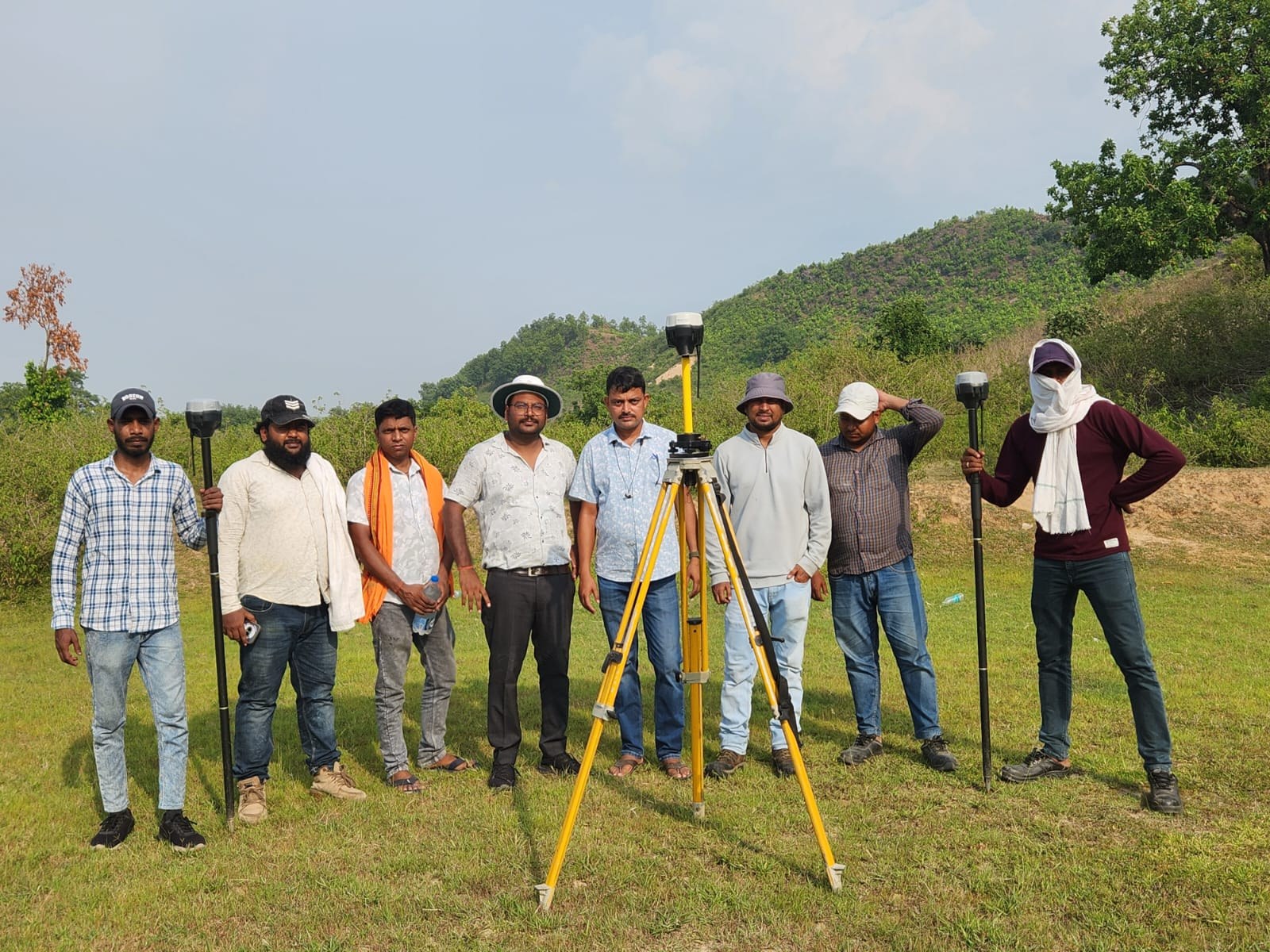
Real field-work imagery from RGT project environments, demonstrating our surveying activities across mining and infrastructure-related work.
Field surveying and geospatial work in a mining project environment.
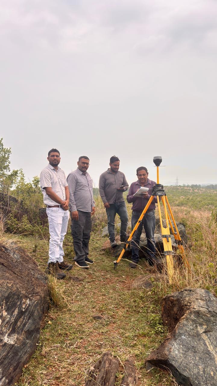
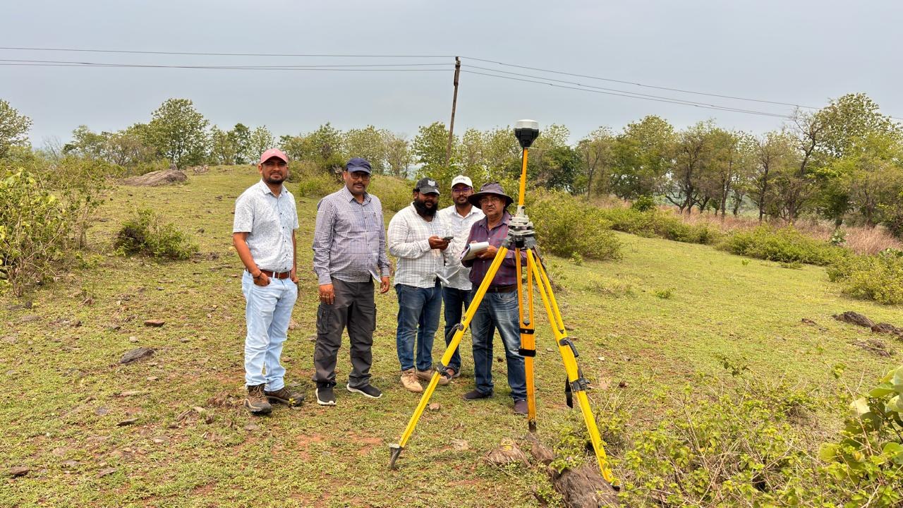
Surveying activity captured during field operations in a copper project environment.
RGT combines modern surveying equipment and digital workflows to collect, process and present reliable project information.
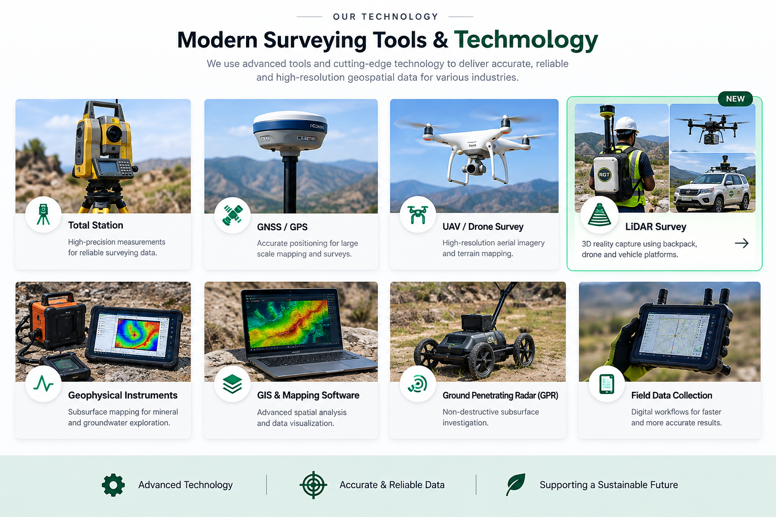
RGT is supported by surveyors, engineers, drafting professionals and field teams with extensive project experience.
Promoter / Surveyor
Civil Engineer
Survey Engineer (DGMS)
Chief Surveyor
Marketing
Selected organizations and project relationships represented across RGT's company materials and website.










Send your project requirements and our team can review the enquiry and contact you.